Rancho Cordova
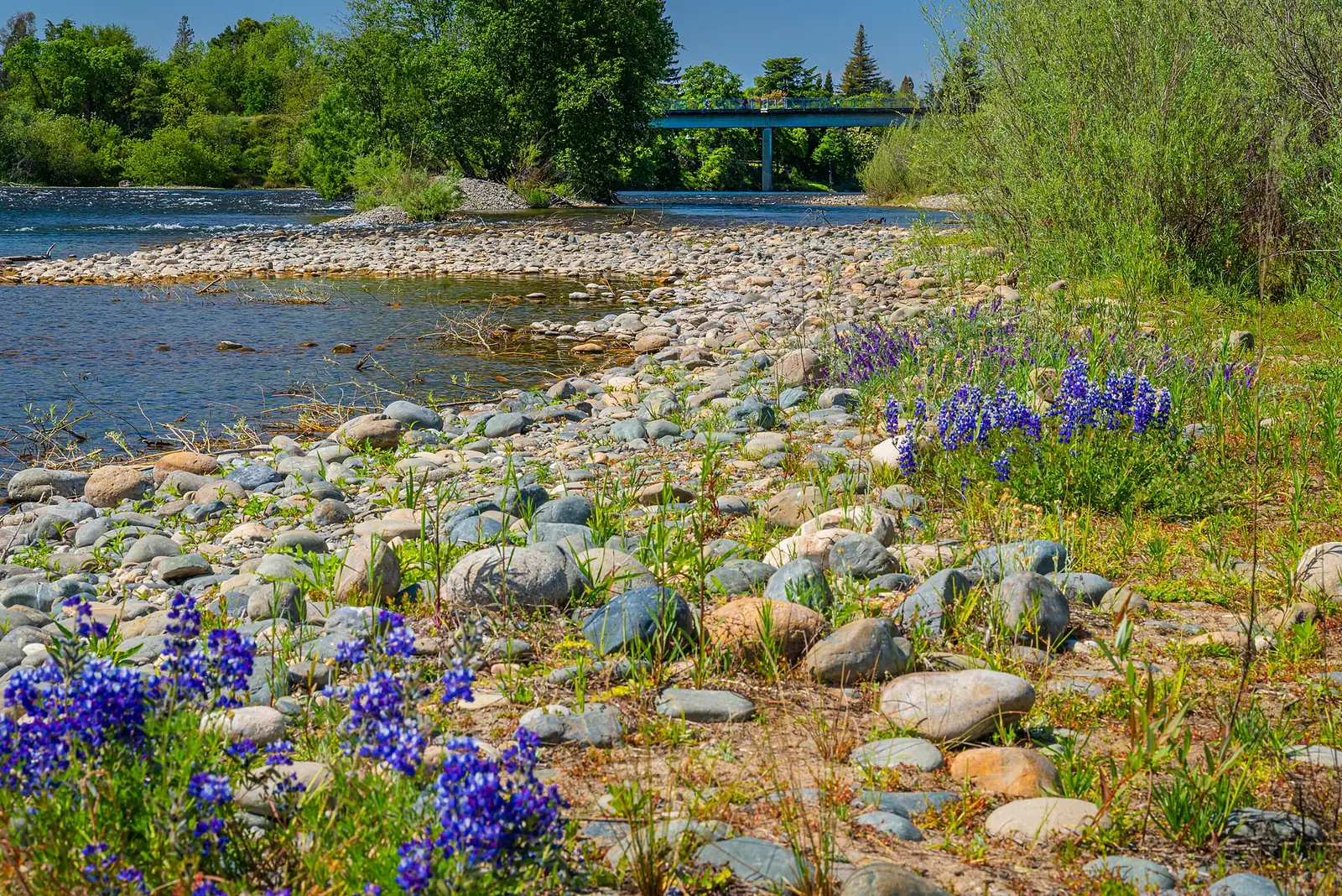
A US 50 business corridor with new neighborhoods and river access.
Photo: RanchoCordovaExpert, CC BY-SA 4.0

About Rancho Cordova
Rancho Cordova incorporated in 2003 and lies along US 50 east of Sacramento. The former Mather Air Force Base is now Mather Airport and Mather Regional Park, and the city includes established neighborhoods north of US 50 as well as newer planned communities to the south.
Homes & architecture
Expect post-war and 1960s–1980s single-family homes in older neighborhoods and newer construction in planned communities south of US 50.
Getting around
US 50 and the SacRT Gold Line light rail connect Rancho Cordova with downtown Sacramento and Folsom.
Parks & recreation
The American River Parkway forms the city's northern edge, and Mather Regional Park offers a lake, golf, and open space.
Information is general and provided for convenience; please verify the details that matter to your decision. For schools, see the California School Dashboard and confirm boundaries with the school district.
Homes for sale in Rancho Cordova
See all on the map Sample listings for preview
Get the Rancho Cordova market report.
Ask for recent sales, pricing trends, and inventory for Rancho Cordova, prepared by our team.